Susquehannock Trail
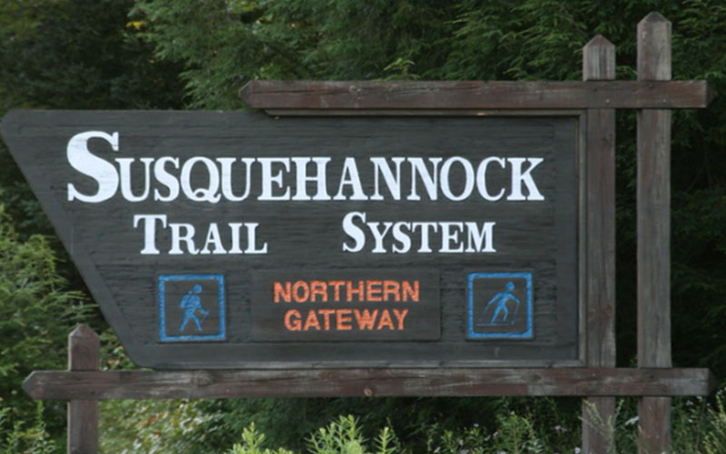
The Susquehannok Trail System is an 85-mile loop. The STS meanders through the remote and unspoiled woodlands of Pennsylvania’s Susquehannock State Forest. The loop extends from the trail’s northern gateway atop Denton Hill on US Rt 6 at the PA Bureau of Forestry building to below the Potter-Clinton County border at its southern end.
The STS passes within a mile of Lyman Run State Park, near Cherry Springs State Park, thru Ole Bull State Park, thru the village of Cross Fork, near Prouty Place Picnic Area, and thru Patterson Park Picnic Area. The STS links old Civilian Conservation Corps fire trails, abandoned railroad grades and logging roads. The system is marked with a uniform system of 2 x 6 inch vertical orange paint blazes.
Parking areas are marked on the Susquehannock State Forest Public Use Map and the STS Trail Guide and Map. Visit the Susquehannock Forest District Office on Rt. 6 in Potter County for more information.
Address: 41.6624, -77.7868
Pittsburgh United States